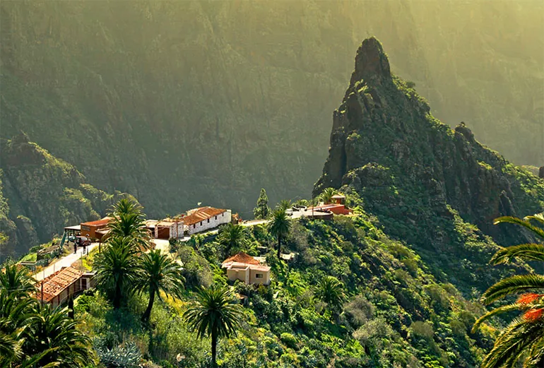
At the north-eastern tip of Tenerife, behind Santa Cruz and La Laguna, the Anaga massif is a world of its own: knife-edge ridges, deep wooded valleys and small villages clinging to the slopes, which drop down to black-sand beaches. It is one of the oldest parts of the island.
Protected since 1987 and now a rural park, Anaga has been a UNESCO Biosphere Reserve since 2015. On the heights grows laurisilva, a forest of laurels and other evergreens like those that covered southern Europe millions of years ago: it survives here thanks to the moisture brought by the trade winds, which often shroud the trees in mist.
What to see
- Cruz del Carmen: a viewpoint over the La Laguna valley, home to the park’s visitor centre and the starting point for many trails. This is where the Sendero de los Sentidos begins, a short loop of about a kilometre through the forest.
- Pico del Inglés: one of the most spectacular viewpoints on the island, up on the ridges of Anaga.
- Taganana: a historic village among vineyards and vegetable gardens on the northern slopes. Further down, by the sea, rises the Roque de las Bodegas.
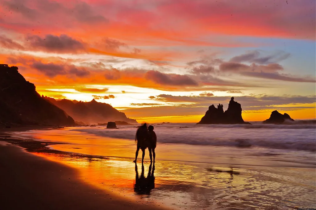
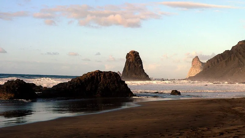
- Almáciga and Benijo: seaside hamlets. Black-sand Playa Benijo, with the rocky Roques de Anaga offshore, is one of the most beautiful beaches in Tenerife at sunset.
- Chinamada: a small village of houses carved into the rock, inhabited since the time of the Guanches.
- Afur and Chamorga: farming villages on the edge of the forest and starting points for trails down to the sea.
- Faro de Anaga: the island’s easternmost lighthouse, which can only be reached on foot along a long, demanding trail.
- Punta del Hidalgo: on the north coast, this is the end point of the classic trail that runs down from Cruz del Carmen via Chinamada.
Trails and permits
Anaga is a hikers’ paradise, with a dense network of waymarked trails through forests, along ridges and between villages. Access to some routes in the most fragile areas is limited: the El Pijaral trail, in the heart of the forest, and the Monte Aguirre trail, for example, can only be walked with a booking on Tenerife ON, which opens every Monday for the following 14 days.
The weather changes quickly: even when the sun is shining in the south, there may be mist and rain here. Bring hiking shoes, a jacket and water, and check the state of the trails before you go.
Getting there
By car, you enter the park from La Laguna, via Las Mercedes, or from San Andrés, near Playa de Las Teresitas: both roads join the TF-12, which runs along the park’s ridges. The roads are narrow and winding, and at weekends the car parks at Cruz del Carmen and Pico del Inglés fill up early. The Cabildo (the island council) has announced shuttle buses and traffic restrictions in these areas, so check which rules are in force before you set off.
By bus, the main TITSA routes are the 946 from Santa Cruz to Taganana and Almáciga, the 947 from Santa Cruz to Chamorga and the 076 from La Laguna to Cruz del Carmen and Afur; for Punta del Hidalgo there are the 050 and the 105. Services are few and far between, so check the timetables on the TITSA website.
Useful information
- Cruz del Carmen visitor centre: daily 9:30–16:00 from October to June, 9:30–15:00 from July to September.
- Trails with limited access: El Pijaral and Monte Aguirre, booking required at tenerifeon.es.
- Buses: TITSA 946 (Taganana, Almáciga), 947 (Chamorga), 076 (Cruz del Carmen, Afur), 050 and 105 (Punta del Hidalgo).
Opening times, prices and services may change: please check the official website before your visit.
Photo gallery