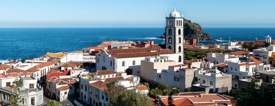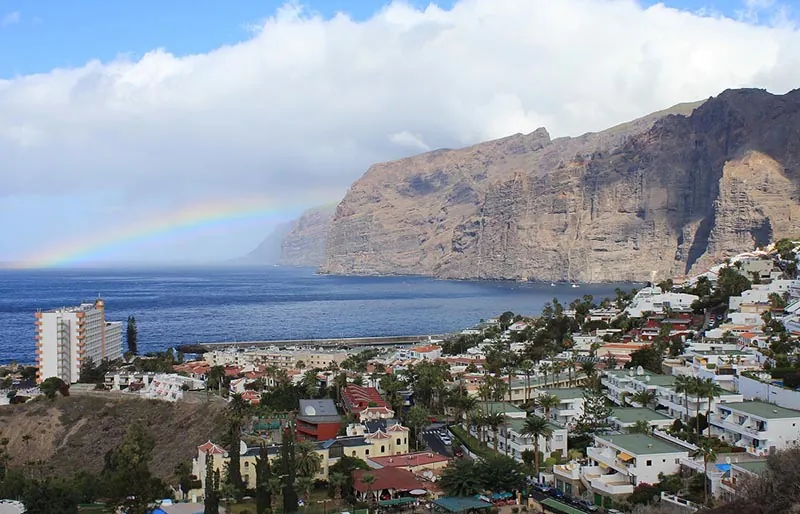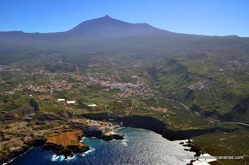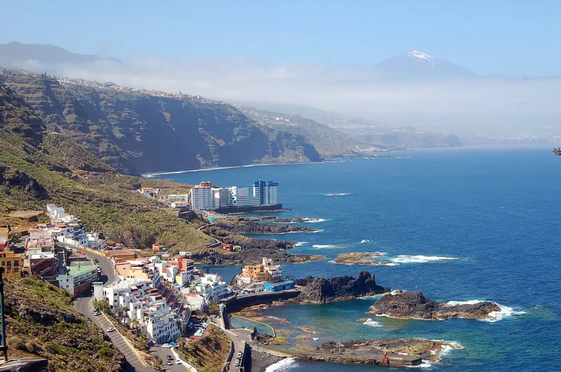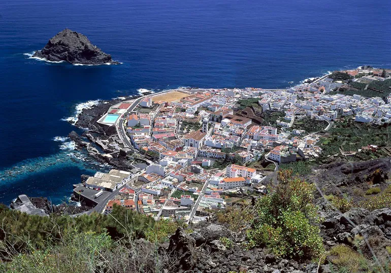
Garachico is a small town of around 5,000 inhabitants in the north-west of Tenerife. Covering an area of 29.28 square kilometres, it borders the municipalities of Icod, Santiago del Teide, El Tanque and Los Silos. Its territory stretches from the slopes of Pico Viejo down to the sea, where it takes in a sizeable stretch of coast known as the Isla Baja, a platform of volcanic origin. The protected natural areas here are Teide National Park, the Corona Forestal Natural Park, the Chinyero Special Nature Reserve, the Acantilados de la Culata Protected Landscape, the Interián Site of Scientific Interest and the whole islet of Roque de Garachico, all of them part of the Natura 2000 network as Special Areas of Conservation.
The town was founded in the 16th century by Genoese merchants. In those days Garachico was one of the island’s most important ports, until 1706, when an eruption of the Volcán Negro destroyed the port and put an end to its prosperity. Almost the whole of the little town was destroyed; only a few fine houses and the Castillo de San Miguel survived the huge lava flow that engulfed the entire area.
Places of interest
- El Caletón de Garachico
- Roque de Garachico
- Castillo de San Miguel
- Church of San Pedro de Daute
- Church of Santa Ana
- Ermita de San Roque
- House of the Counts of La Gomera
- Former convent and church of San Francisco, with the municipal library and museums
- Arenas Negras: a hilly area affected by the famous volcanic eruption of 1706
- Mirador de la Culata: a viewpoint 460 metres above sea level with panoramic views
Photo gallery